


As part of a whole school Geography Mapping curriculum day, Year 1 spent the day learning all about where in the world we live.
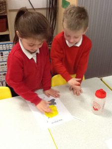
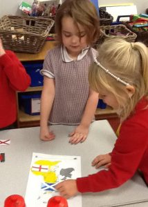
First, we looked at the countries and flags of the United Kingdom and had fun playing ‘Pin the place on the map’ – seeing who could get the closest to pinning where Darlington is in the North East of England.
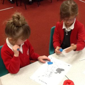
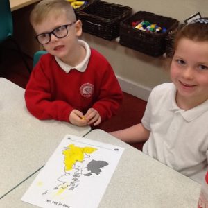
For the next challenge, we sorted out which place names are countries which belong to the United Kingdom, and which are found somewhere else on earth.
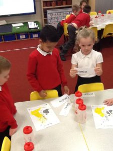
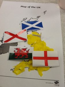
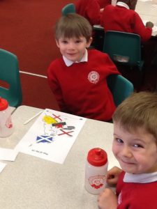
Our last UK mission was to find out which flag belongs to each country. Great detective work Year 1!
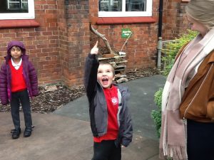
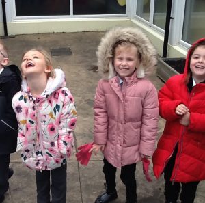
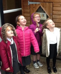
After this, we learnt all about aerial mapping, and even flew a drone over Reid Street School to see what it looks like from high above the ground!
These are some of the images taken by the drone:
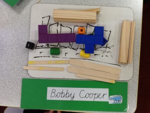
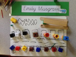
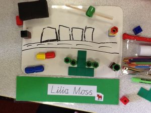
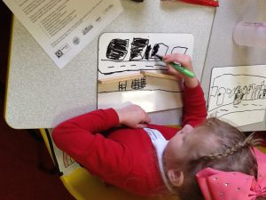
The children used what they had learnt to create small scale aerial street maps of where they live.
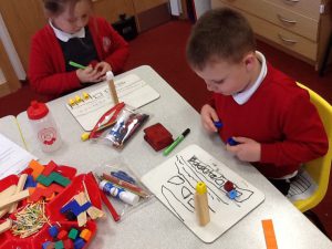
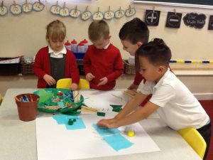
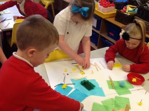
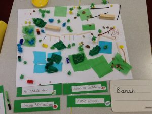
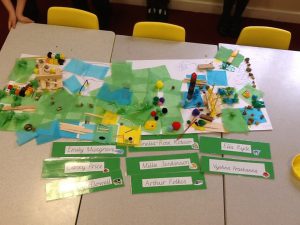
Finally, we worked in teams to plan and create maps of ‘green spaces’, linking back to the learning in our previous sessions on ‘The Promise’. We talked about what useful facilities a green public space would need, and how we could help to ensure it was accessible for all who want to use it. We linked this to the work we are continuing to do around Global Goals.